Nature et volcans
Volcanic ridges and cinder cones of Auvergne
The Puy-de-Dôme and the Cantal were shaped by volcanic activity that left chains of cones, lava plateaus, and deep valleys. Reading the land today means noticing how these old forms still guide roads, pastures, and villages.
Key landscapes
Chaîne des Puys, Sancy and high lakes

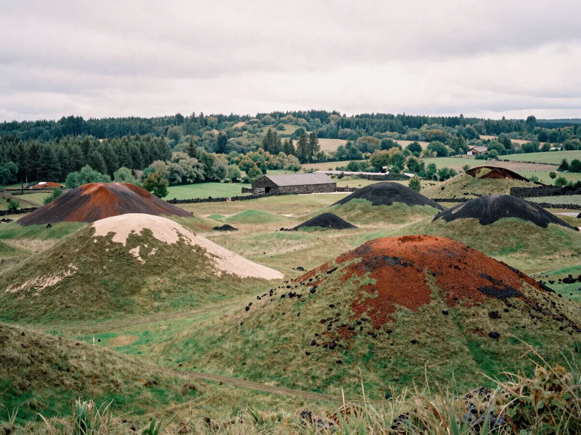
The Chaîne des Puys
A line of dormant volcanoes and cinder cones stretches across the Puy-de-Dôme, marking one of the clearest volcanic alignments in France.

The Sancy massif
The Sancy, the highest volcanic massif in the Massif Central, is built from layered lava and volcanic deposits that still shape its open high ground.
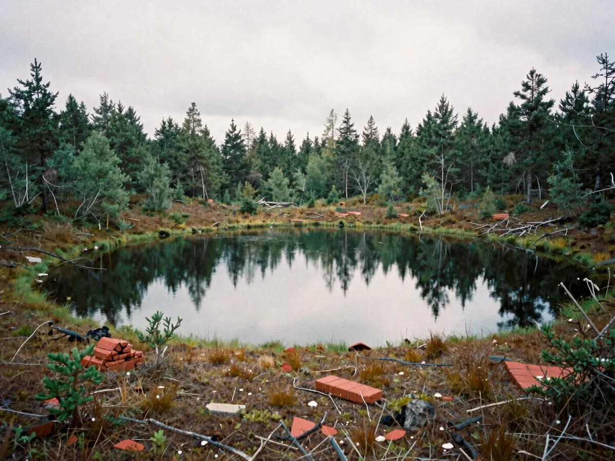
Crater lakes and peat bogs
Crater lakes and peat bogs hold specialised plant and animal life, supported by the slow water movement that volcanic soils create.
Protected territory
Two regional parks and their boundaries
The Parc naturel régional des Volcans d'Auvergne and the Parc naturel régional du Livradois-Forez protect large volcanic and forested areas. Their boundaries follow landscapes rather than administrative lines, allowing farming, forestry, and walking routes to coexist with conservation rules.
Preservation efforts focus on peat bogs, grassland, and water quality, which are sensitive to drainage and heavy visitor pressure. Readers planning a walk are encouraged to stay on marked paths and respect grazing land.